Canadian Rockies Vacations. See the Rockies, Canada's Rocky Mountains Travel Guide.

Follow Us On Facebook
Driving Routes

Driving Routes to the Canadian Rockies


Trans-Canada Hwy #1 | Yellowhead Hwy #16 | Hwy #16 West to Coast | Cariboo Hwy #97 | Map A Route


View Larger Map

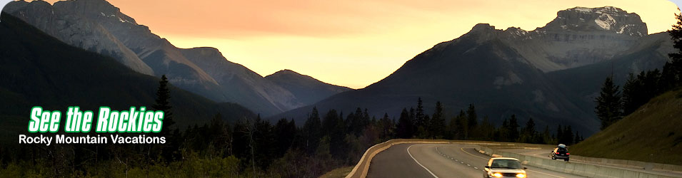
Canadian Rockies Driving Routes, Scenic Side-Trips & Circle Tours
Plan your Canadian Rockies vacation to include some of the finest scenic drives and circle tours in Western Canada.


Trans-Canada Hwy #1
Head west from Calgary (AB) or east from Victoria or Vancouver (BC). The most travelled route through the Rockies. Includes Banff (& Lake Louise), Yoho, Glacier & Revelstoke National Parks.
Yellowhead Hwy #16
West from Edmonton (AB) or east from Prince George (BC). This route takes you through the stunning beauty of Jasper National Park (a short drive to the Columbia Icefields) and BC's Mount Robson Provincial Park.
Hwy #16 West to Coast
West from Prince George, via Hwy 16, through the Nechako Valley, Lakes District and Bulkley Valley to the west coast port of Prince Rupert. Then, by ferry to the Queen Charlotte Islands - BC's magical Haida Gwaii.
Cariboo Hwy #97
Travel between Prince George (BC) and Cache Creek (BC), through the Cariboo Plateau, a land of lakes, rivers, meadows and forests, surrounded by wilderness mountain ranges. This is the main route to northern BC and the Yukon and connects with Hwy #1 in the south and #16 in the north.
Map A Route
Enter a starting point and a destination and we'll map a route and detailed driving directions, including distance and traveling times, using Google Maps.

Advertise your Rocky Mountain business with us. Learn more ... 

© 2023 See The Rockies - Canada's Rocky Mountains Travel Guide to Vacations in the Canadian Rockies.
Website Content Management System from Interactive Broadcasting Corporation.